Bukit Malawati, Kuala Selangor
I only have been to Bukit Malawati twice; the first time was way back in the year 2000 when I was on a working trip. The second time was with my family few months back. As it was a working trip the first time I went here, I did not get to explore much, the only thing I remember was seeing a lot of monkeys. I was happy to visit the place again the second time December last year and explore the hill.
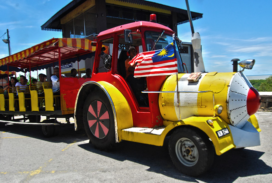
To go up the hill, we have to park our car at the parking area and get on a colorful train. I totally forgot about the fee but it was around RM2 or 3 for an adult, half the price for children.
Anyway, when we reached the top of the hill, there were so many monkeys ushering us. Quite friendly when we have something for them to eat.
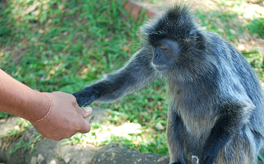
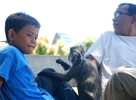
After the food ran out, monkeys went away and we walked up to the Kuala Selangor History Museum to learn more about the history of Kuala Selangor and Bukit Malawati.
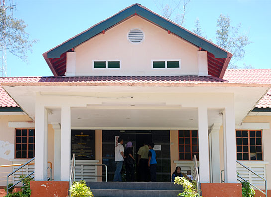
According to the museum, Bukit Malawati was developed during the era of Sultan Ibrahim as a place for recreation while watching cock-fighting. This was the highest hill with a large area as its peak. Bukit Malawati was at one time the administrative center for the Government of the Selangor State during the early period until 1857. This hill has became a place of historical importance because it was a battlefield involving the Dutch and consequently the British.
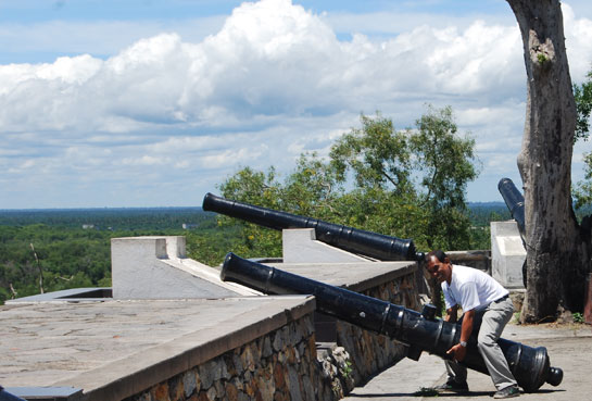
History has it that the name Kuala Selangor came into being in conjunction with the name of a town on the bank of Selangor river upstream. Along the 6km river bank, it was believed that seafarers built their settlement.
The name Selangor was originated from the name of the river, Sungai Selangor. However, how the word Selangor itself came into existence is subject to various speculations. Some believed that it was originated from the word Mentangau, a type of tree which grew in abundance along the river bank. In the book of local history written by a Portuguese, Dutch and British, Selangor when written in LAtin are spelled Salangor, Salengor, Solongor, Chalangor, Charanguror, etc. But the name Selangor is stated in the Map Office of the British Museum, London.
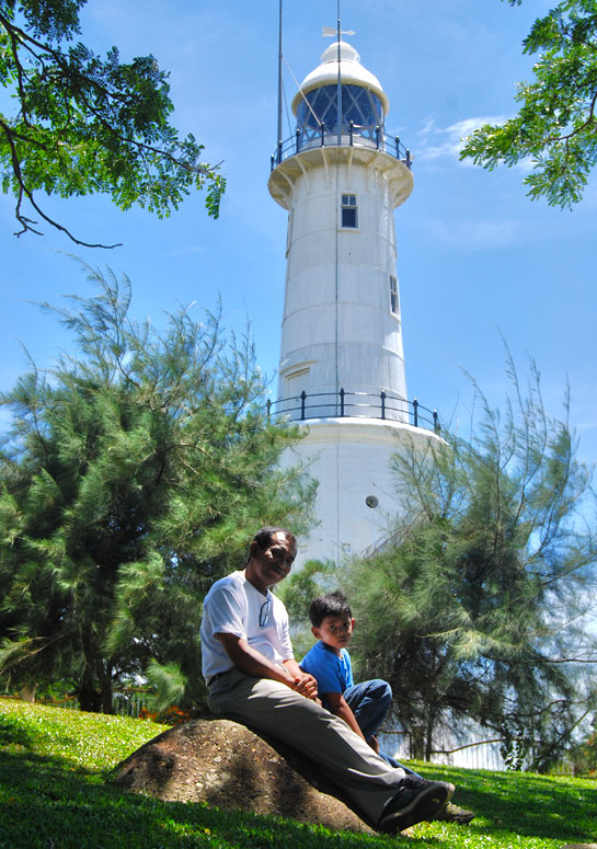
In the area, there is also a light house which was built in 1907 and has two levels. The lower part consists of twirled steel stairs from bottom to top. At the top level there is a big rounded light bulb. They lit the bulb from 7pm to 6am the next morning. The light from the light house act as a signal to ships passing through the Malacca Straits at that times.
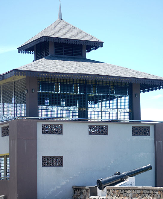
On the hill also situated a pavilion called Baitul Hilal. This is where religious authorities gather to sight the new moon before Ramadhan and Syawal begins.
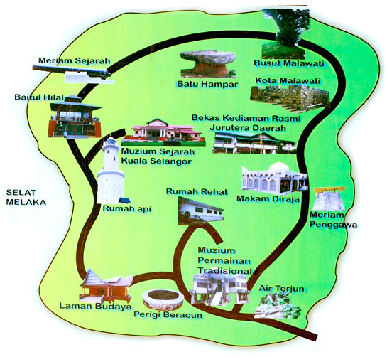
Below is the map of Bukit Malawati. Do visit all the attractions especially the museum to know more about the history of Kuala Selangor.
You can get here by bus or car. Take Selangor Bus 141 from Pudaraya Station, KL. For car the GPS coordinates is N03° 20.483? E101° 14.683. From KL take the Sungah Buloh trunk road and from there will be many signboards directing you to Kuala Selangor.
4 Comments
samdaddycool
Love the Light house pics.
emila
Thank you, Sam.
Rose
What a fun outing! I love how the train is so brightly colored.
Yukino Hinata
the cannon posing hihihi